New research reveals groundwater pathways across continent

Researchers from Princeton University and the University of Arizona have created a simulation that maps underground water on a continental scale. The result of three years’ work studying groundwater from coast to coast, the findings plot the unseen path that each raindrop or melted snowflake takes before reemerging in freshwater streams, following water from land surface to depths far below and back up again, emerging up to 100 miles away, after spending from 10 to 100,000 years underground.
The simulation, published January 6 in Nature Water, shows that rainfall and snowmelt flows much farther underground than previously understood and that more than half the water in streams and rivers originates from aquifers once thought to be so deep as to be walled-off from streams. These unexpected findings have major implications for tracking pollution and predicting the effects of climate change on groundwater, which supplies half of all drinking water in the United States.
Spanning the continental United States and parts of Canada and Mexico, the simulation tracks the flow of groundwater and measures the vast distances and depth it travels before discharging into streams across more than 3 million square miles (7.85million square kilometers). The researchers accomplished this with a high-resolution hydrological simulation that allowed them to track the water moving through underground systems.
Reed Maxwell, who serves as Princeton’s William and Edna Macaleer Professor of Engineering and Applied Science and as professor at Princeton’s High Meadows Environmental Institute, and a team of researchers including Dr. Chen Yang, who spent three years contributing to the project at Princeton, and University of Arizona Professor Laura Condon. They found that groundwater can travel underground for hundreds of kilometers before emerging as streamflow. In the Midwest, groundwater flows long distances—especially where the mountains meet the plains. One groundwater flow along the base of the Rocky Mountains spanned 148 miles (238 kilometers). The study also reveals groundwater’s vast connection networks: Almost 90% of US watersheds take in water from one neighbor and pass it to another.
The findings bear staggering implications. While out of sight, groundwater constitutes 99% of the world’s unfrozen freshwater and provides drinking water to 145 million Americans. It is also essential to our food supply, irrigating 60% of agriculture worldwide. But groundwater is being depleted at an alarming rate—and it’s long been difficult to model. This study’s new retrospective analyses and predictive simulations provide opportunities to track this vital resource—and understand the far-reaching impacts of leakages from the likes of oil and gas well pads.
“Interconnections between the watersheds isn’t just important for streamflow,” said Maxwell. “This also tells us how long contamination will persist in groundwater. Widespread pollutants like nitrate and PFAS can take these long journeys to the stream, making them harder to manage and even longer-lived.”
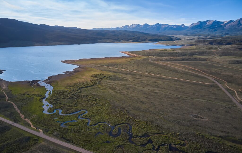
The second important new discovery is that groundwater from very deep aquifers contributes significantly to streamflow. Maxwell found that deep groundwater from aquifers 10 to 100 meters below the surface contributed more than half of the baseflow in 56% of the subbasins. The greatest depths occurred in regions with the steepest topography gradients, such as the Rocky and Appalachian mountain ranges.
The article, “Unraveling groundwater-stream connections over the continental United States,” was published January 6 in Nature Water. Co-authors along with Maxwell are Chen Yang, a former associate research scholar at Princeton (now at Sun Yat-sen University in China), and Laura Condon of the University of Arizona.
Funding: US Department of Energy Office of Science (DE-AC02-05CH11231) and the US National Science Foundation Office of Advanced Cyberinfrastructure (OAC-2054506 and OAC-1835855) and Hydrologic Sciences (NSF-1805160)